Beinn Lora is a bit of a hidden gem of a hill. I’ve stayed in the Benderloch area a few times and always missed the sign for the car park as right behind it is a large pink shop which obviously captured my gaze!
There are two routes you can take, blue and red. I took the blue route which is called the Eagle’s Eyrie Trail and takes roughly 1 and a half hours.
There’s quite a steep hill at the beginning, in fact, I think that is the steepest bit of the whole walk and there are a few benches dotted around the trails for when you need to catch your breath.
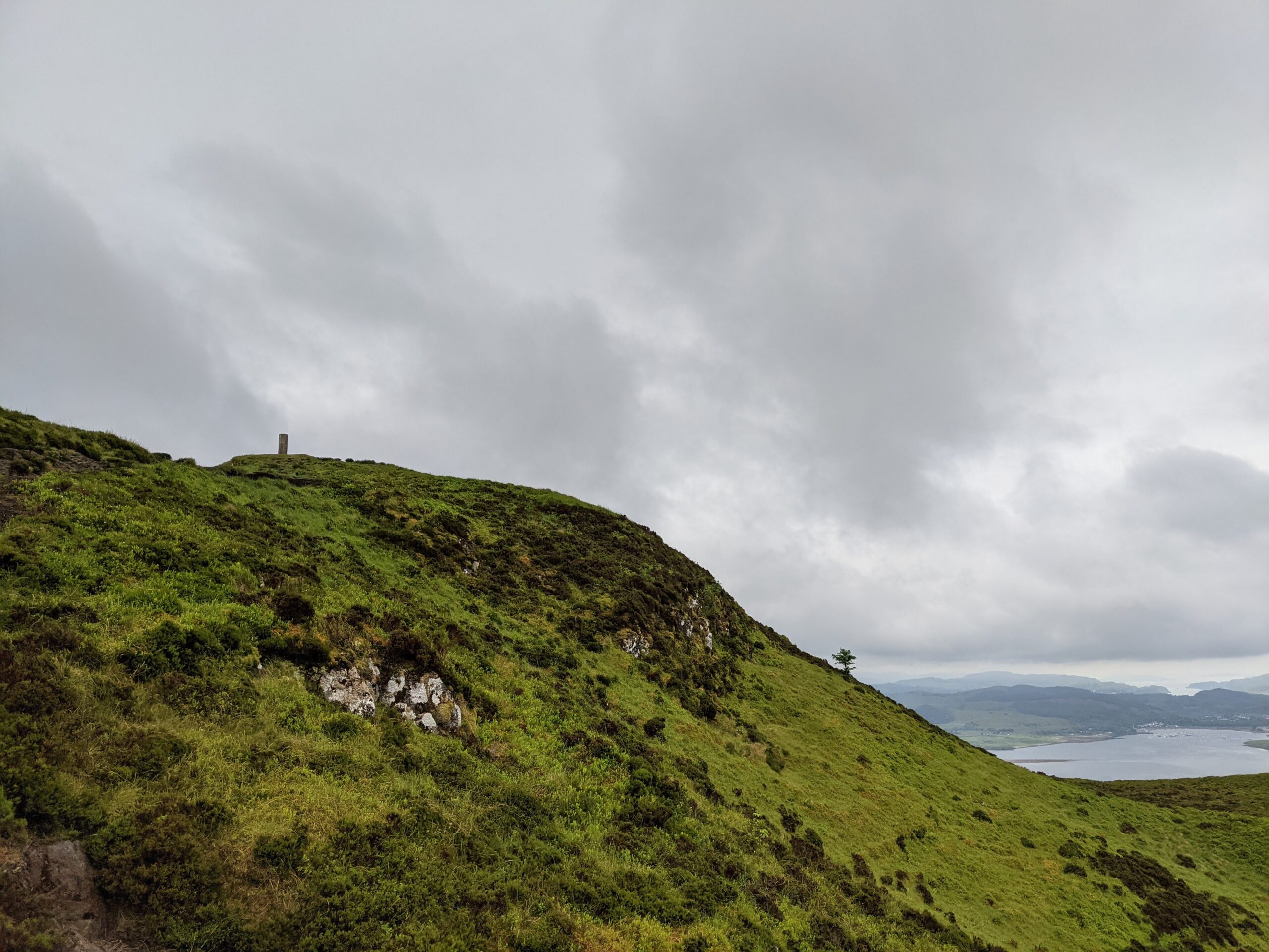
At the end of the blue route, there’s a picnic bench where you can sit and admire the view. You can also continue the walk past the gate to get right to the top of Beinn Lora. This isn’t along a gravel route but farmland instead. I would encourage you to keep going if you have made it that far!
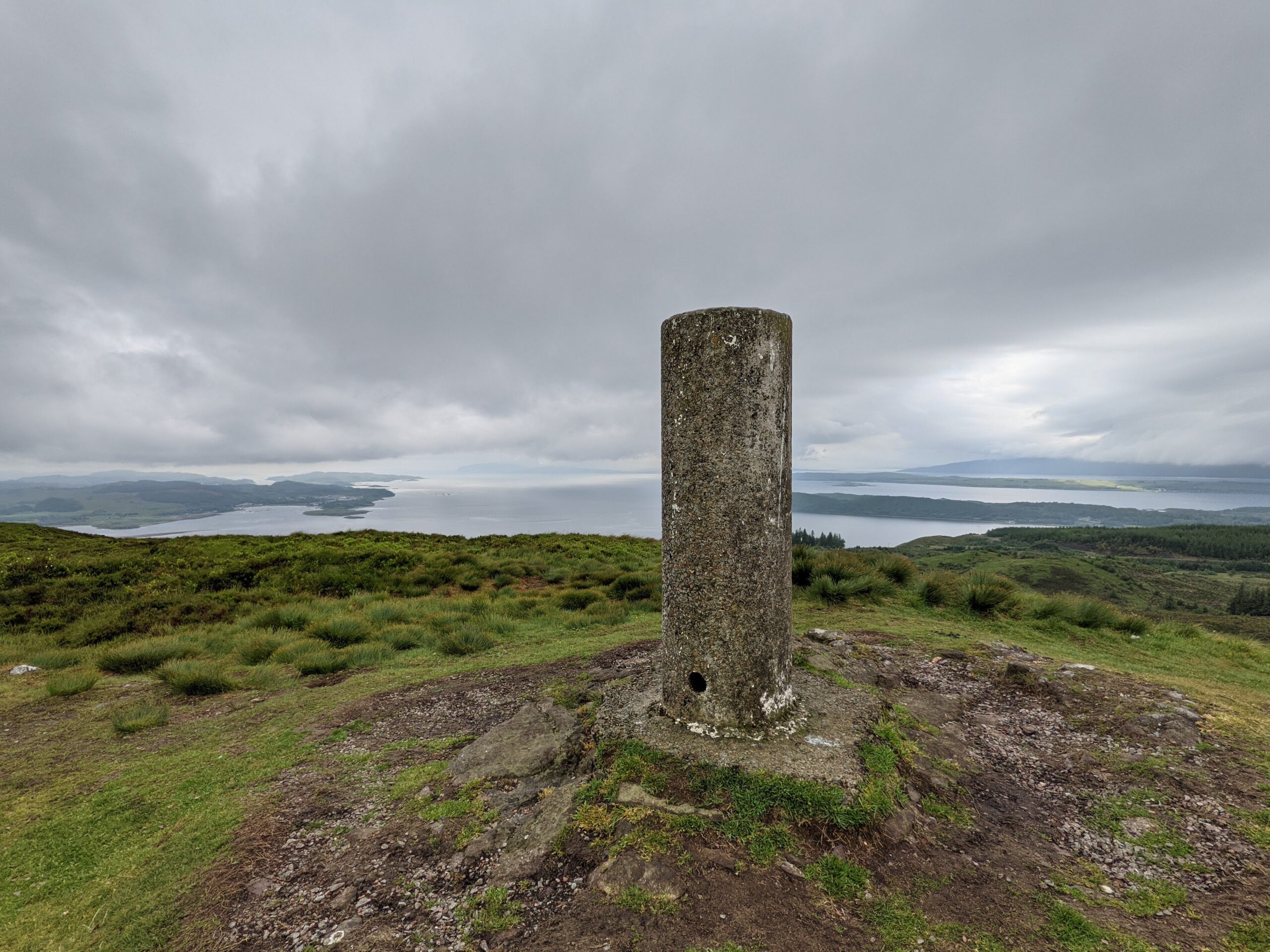
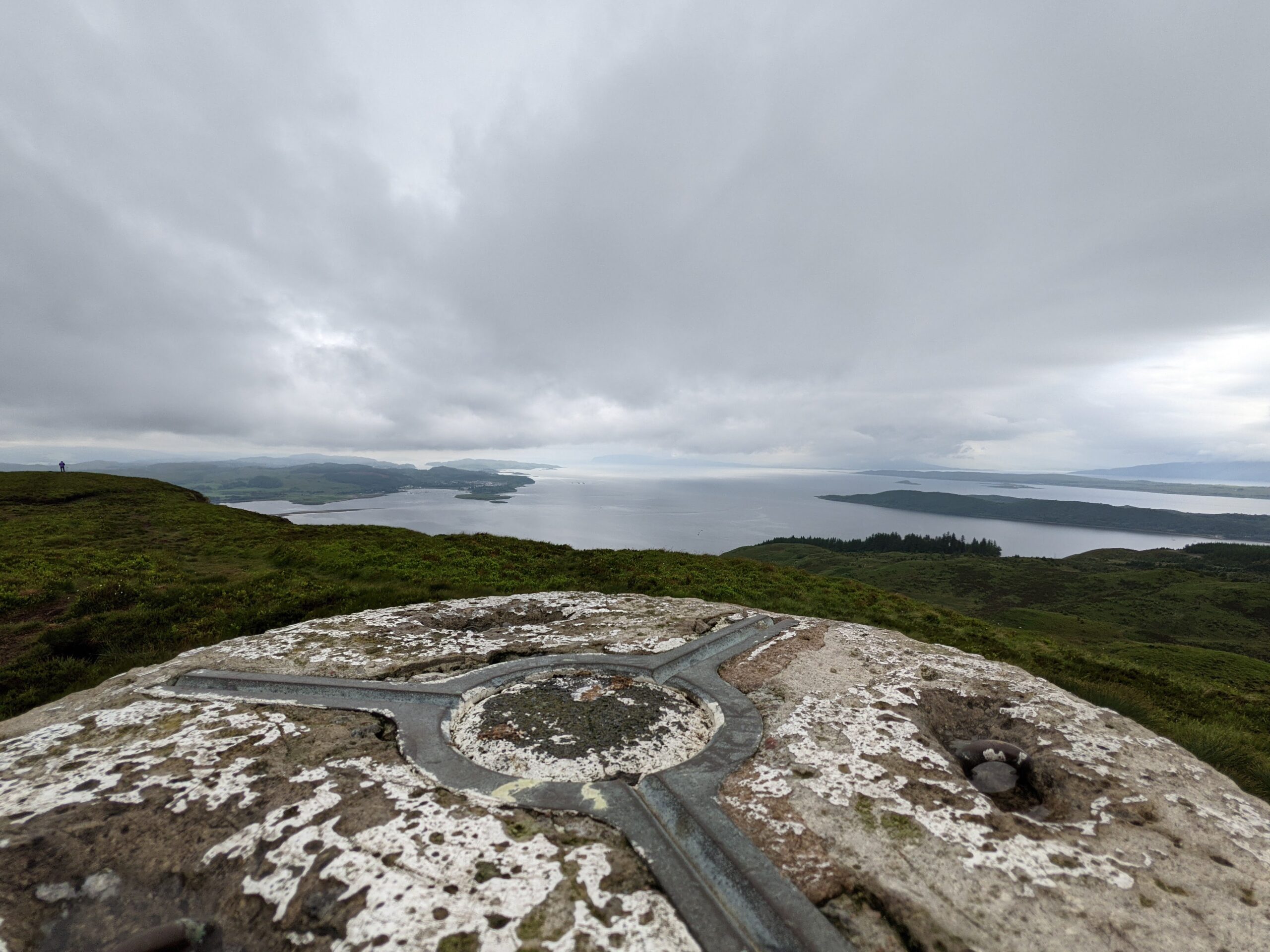
Once at the top, there’s a trig point and if you walk past this, the sea comes into full view and it just feels majestic standing there after all that walking with such a rewarding view.
There are lovely views without having to do the full-blue walk if you don’t want to continue. You can see Oban’s airport and the Connel Bridge which looks tiny in the distance.
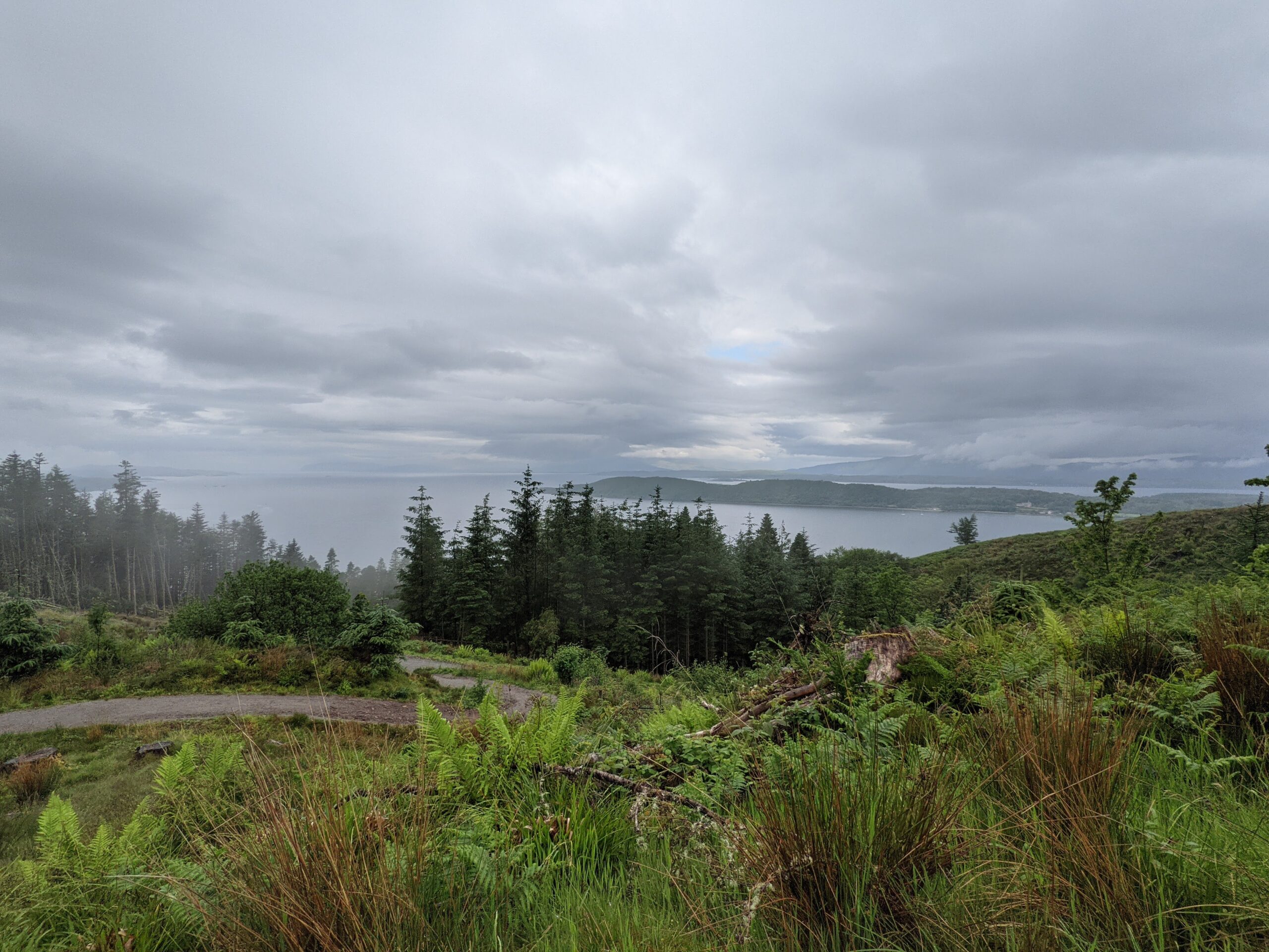
On the way back down we followed the sign for the Eagle Eyre viewpoint, it is a little off route leading down to a bench and another viewpoint of Benderloch.
Beinn Lora
Height: 308 metres
Class: Marilyn
Trig point
Car parking available
The time it took me: Just over two hours to get to trig point and back